
Best apps for fall foliage road trips.
A good fall road-trip app does one practical job well. One source helps estimate color, another checks rain and wind, another confirms road conditions, and another makes the time between overlooks more interesting.
No app can promise peak color on a future date. Treat reports and forecasts as planning signals, then build a route that still works if leaves, weather, or visibility are different from the photos you expected.
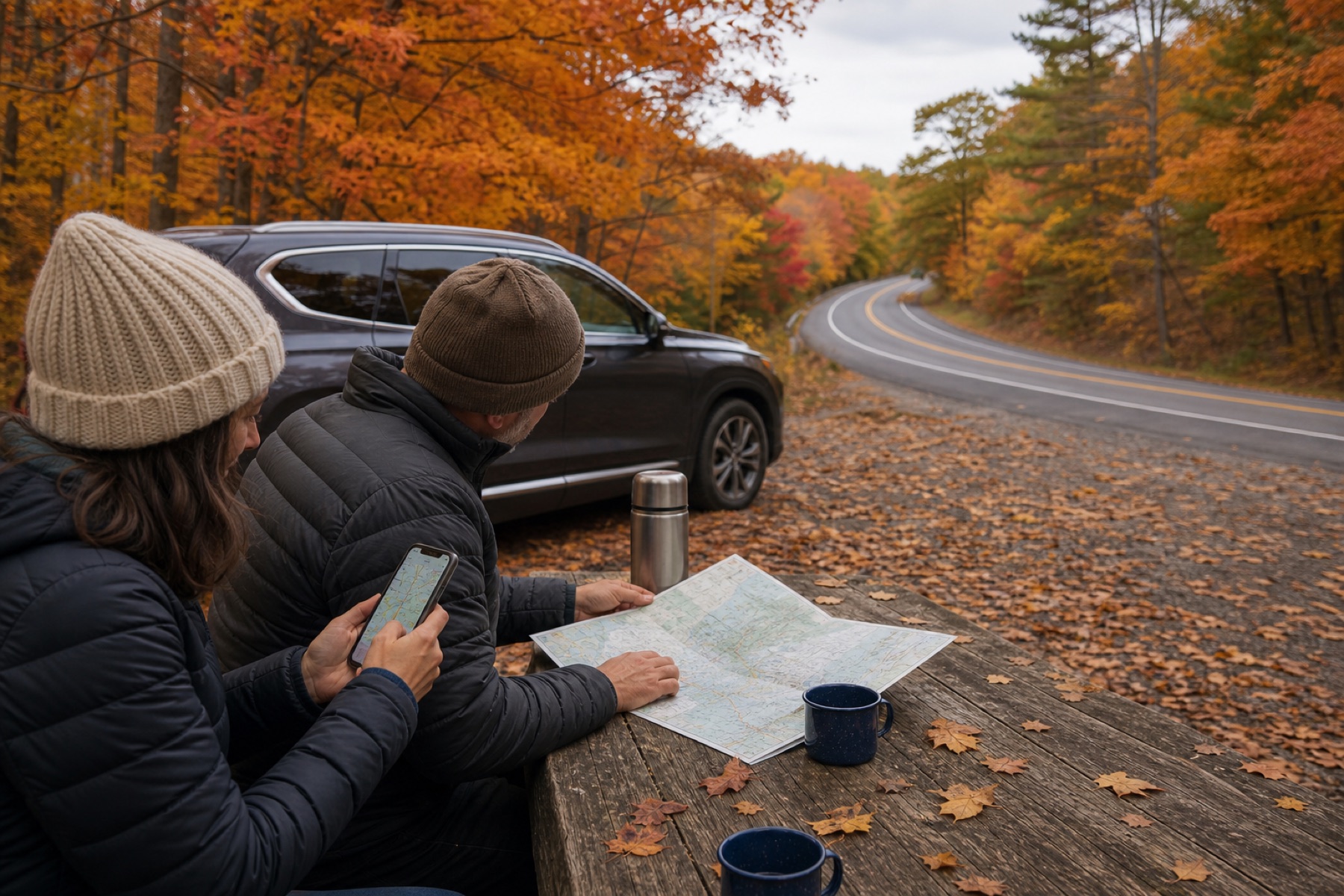
Check three changing conditions before leaving
Recent color reports
Use an official park, forest, or state tourism update that names specific regions and dates. A generic national color map is less useful than a recent report from the road you plan to drive.
Weather and wind
Rain changes visibility and photography; wind can remove leaves quickly; cold conditions can affect high-elevation roads. Check the National Weather Service forecast for the route, not only the lodging town.
Road status
Use official park alerts and state 511 systems for closures, construction, crashes, and detours. A scenic plan is only useful when the selected segment is open.
Build a small app stack instead of a crowded home screen
- One official conditions source for the parkway, park, forest, or state road.
- One weather source with hourly timing and alerts.
- One map with saved lodging, fuel, meals, and alternate routes.
- One camera or photo-notes tool for stops you want to remember.
- One listening option for music, podcasts, audiobooks, or route-based stories.
Put the tools you will actually use in one folder and save essential route information before departure. JollyTango requires internet, and service may be unavailable on mountain and rural roads.
Let a passenger handle the changing plan
Fall drives invite frequent decisions: whether to stop, whether an overlook is crowded, or whether clouds make a different section more promising. Those searches belong with a passenger or at a complete stop.
NHTSA identifies phone use and other distractions as serious driving risks. Save photography for designated pullouts and keep shoulders, travel lanes, and emergency access clear.
Add stories that still work after peak color
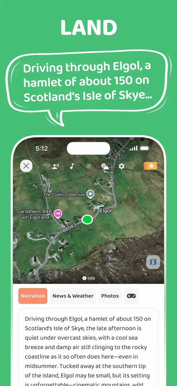
JollyTango Land Mode can tell real-time stories about forests, mountain towns, rivers, history, food, and landmarks around the drive when internet access is available.
That context does not depend on every tree being at peak color. Keep official sources in charge of weather, closures, navigation, and emergency information.
Weather, road-condition, park-planning, and driver-safety sources
Make the autumn route interesting beyond the leaves.
Hear real-time stories about places around the drive when internet access is available.
Explore Land Mode