
Best apps for national park road trips.
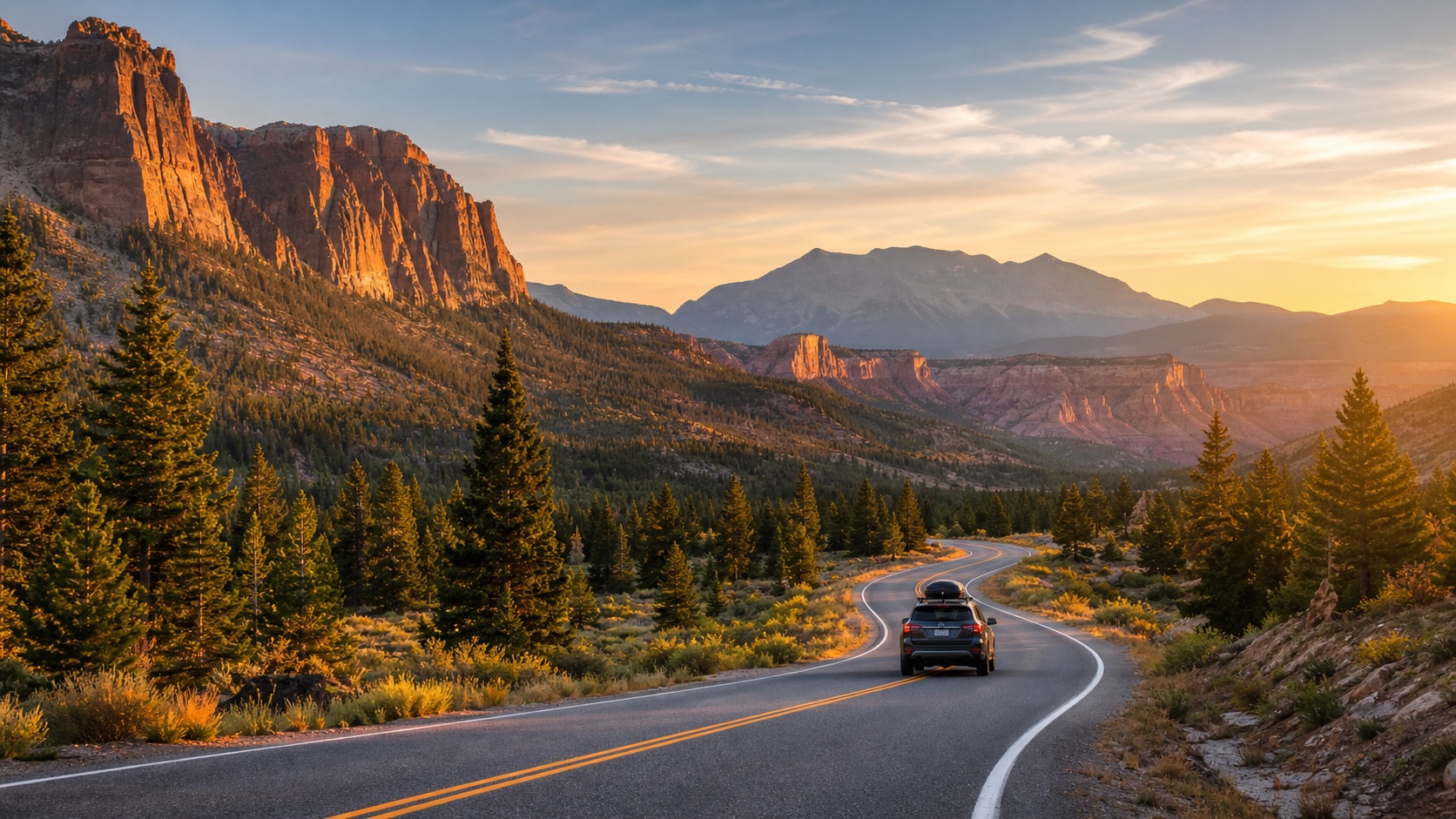
A national park road trip is part planning, part patience, and part curiosity. The destination matters, but so do the roads, gateway towns, viewpoints, weather, food stops, and safety choices between parks.
The best apps help you plan ahead without turning the driver into the trip researcher. Use official park information for rules and conditions, maps for orientation, weather for timing, and audio stories for the places between stops.
The best app stack for park road trips
- The official NPS app or park website for hours, alerts, fees, maps, and services.
- A map app for routes, fuel stops, gateway towns, and backup drives.
- A weather app for road conditions, storms, heat, cold, smoke, or visibility.
- A notes app for trailheads, overlooks, and places to revisit.
- An audio guide for stories about the roads, towns, landscapes, and landmarks between parks or viewpoints.
The National Park Service recommends planning ahead and checking the specific park website or NPS app before visiting. That advice matters because rules, road closures, entrance systems, parking, and seasonal access can vary by park.
What to plan before the drive
Timing and entry
Some park days are shaped by timed entry, limited parking, shuttle systems, road closures, or seasonal routes. Check this before choosing a sunrise drive or a late-afternoon arrival.
Scenic stops outside the park gate
Gateway towns, scenic byways, river valleys, historic districts, and food stops can make the drive feel complete instead of just a commute to the entrance station.
Driver attention
NHTSA reports distracted driving remains dangerous, so let passengers handle apps and searches. Passengers can listen without asking the driver to read from a moving screen.
Why route context matters
National park road trips often move through public lands, tribal lands, ranching regions, historic towns, mountain passes, deserts, forests, or coastlines before the actual park. Noticing those places makes the drive feel less like dead time between entrances.
USGS map resources are useful reminders that terrain, water, elevation, roads, and geographic names all shape how a road trip feels from the windshield.
Use the drive time for park context
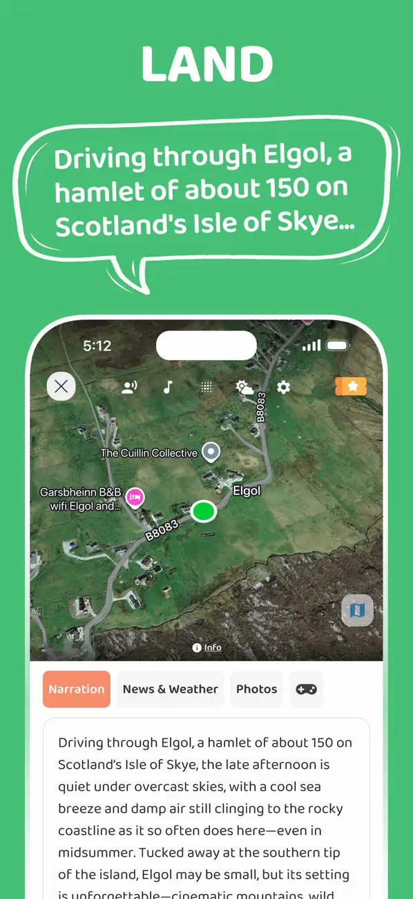
JollyTango Land Mode can tell real-time stories about towns, landscapes, food, culture, nature, weather, and points of interest as you drive toward and between parks.
Use it on the long stretches where your phone has internet. For current conditions, road status, alerts, permits, and safety decisions, use the official park website, the NPS app, and posted guidance in the park.
National park road-trip and safety sources
Make the route part of the park trip.
Use JollyTango Land Mode to hear real-time stories about towns, landscapes, culture, nature, weather, and points of interest along the drive when internet access is available.
Explore Land Mode