Best train travel apps for scenic rail trips.
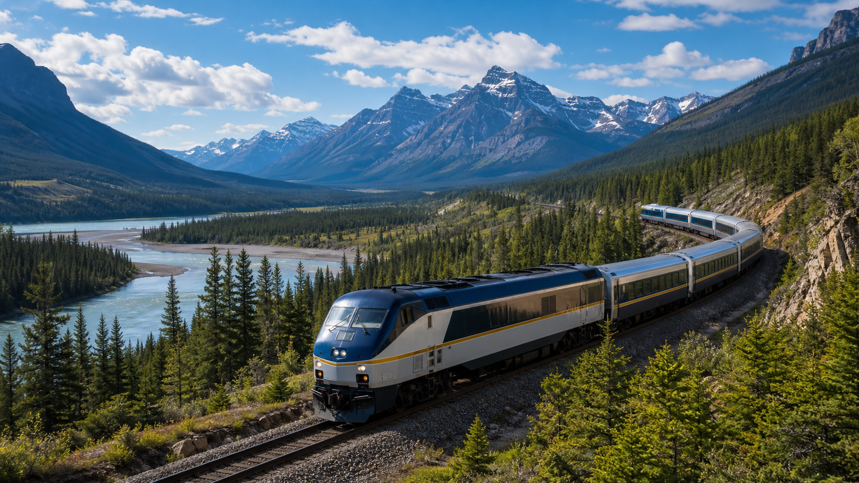
A good train ride is not only transportation. The route passes towns, rivers, farms, bridges, industrial corridors, mountain cuts, coastlines, and stations with their own local stories.
The best train travel apps help you understand that moving landscape without turning the trip into homework. For scenic rail trips, look for tools that support maps, route context, weather, station planning, and audio narration.
Build a useful rail app setup
The best train travel app setup usually combines the rail operator app, a map, a weather tool, and an audio guide. The operator app handles tickets, schedules, alerts, and station details. The map helps you follow the route. The audio guide adds context for what is outside the window.
That combination matters because rail travel is linear and visual. You cannot pull over for every interesting town, bridge, or river, so the most useful app is often the one that explains the place while you are passing it.
What to look for in train travel apps
- Route and station information for the practical parts of the trip.
- A map that helps you identify towns, rivers, parks, coastlines, and terrain.
- Weather context for the region around the route.
- Audio-first content so you can keep watching the view.
- Low-effort setup, because train rides often include weak or changing connectivity.
- Support for rail, road, and walking so the app stays useful after arrival.
Amtrak says its network includes more than 30 train routes and over 500 destinations in 46 states. That is a lot of landscape and a lot of local context that typical ticketing apps are not designed to explain.
What to notice from the train window
Rail corridors and old industry
Trains often follow older corridors built around rivers, ports, factories, warehouses, mines, or agricultural regions. Those clues explain why a town grew where it did.
Terrain and water
The National Map from USGS includes map data such as roads, hydrography, elevation, geographic names, and other features. Those are exactly the clues that make a rail view easier to interpret.
Stations and arrival neighborhoods
A station is often close to an older downtown, waterfront, business district, or transit hub. The best rail apps help before arrival, not only while you are already on the platform.
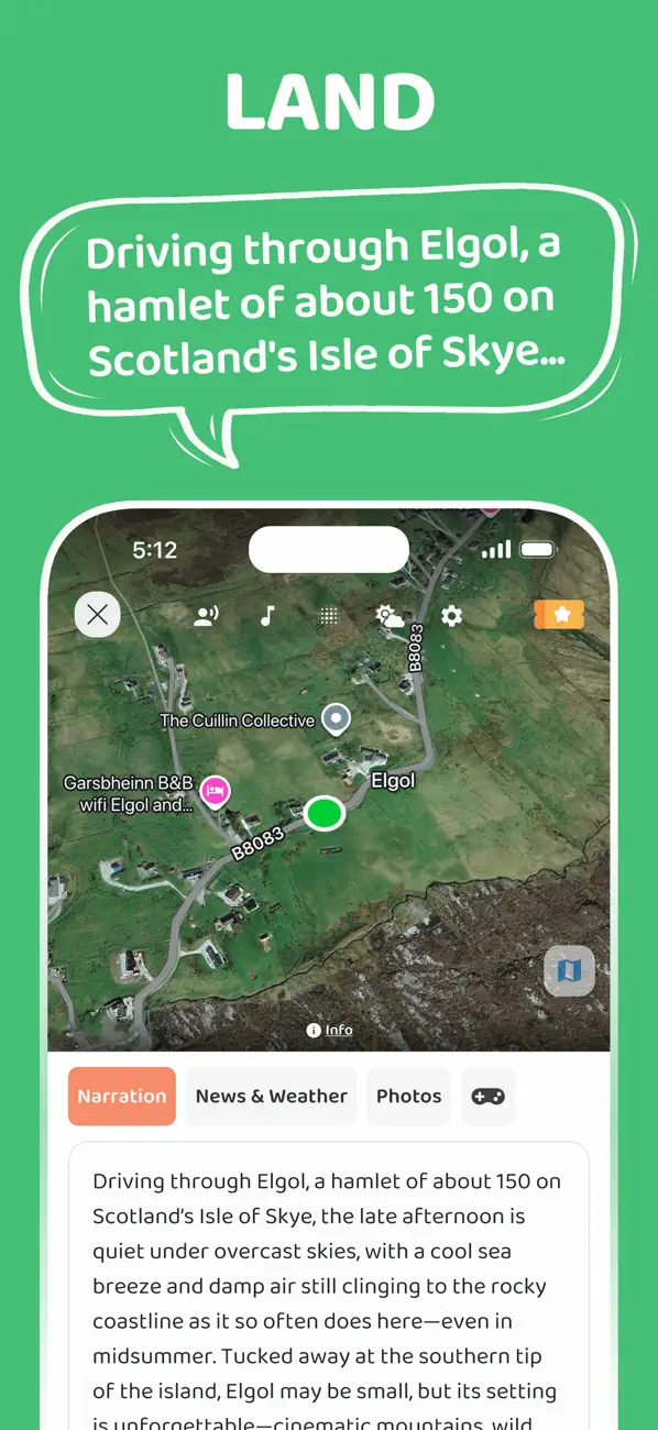
Turn the rail view into stories
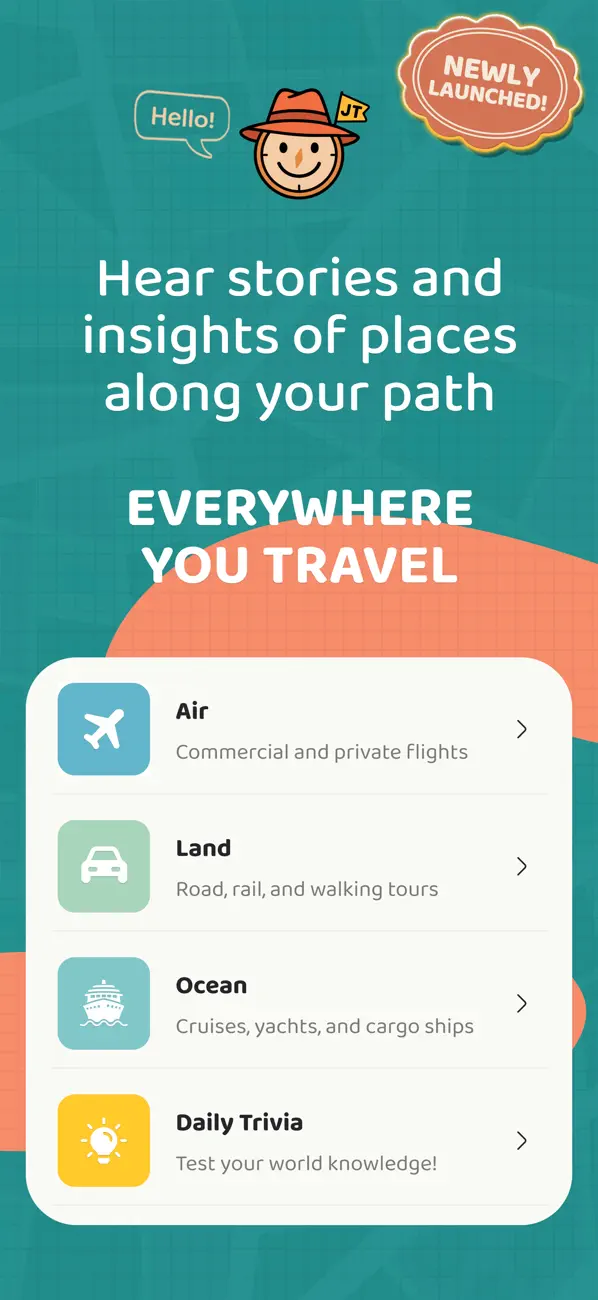
JollyTango Land Mode works for road, rail, and walking journeys. On a train, it can help turn passing towns, landscapes, weather, photos, and points of interest into audio stories.
It is most useful when you want to keep looking out the window while still understanding the places along the route. It needs internet access, so keep tickets, schedules, service alerts, and essential travel details available separately.
Rail route, station, and map sources
Make rail travel more curious.
Use JollyTango Land Mode to hear stories about places, towns, landscapes, and points of interest along rail and road routes.
Explore Land Mode