
Best walking tour apps for curious travelers.
Walking is one of the best ways to understand a place. You notice storefronts, street names, old buildings, food smells, public art, parks, hills, waterfronts, and the way locals actually move through a neighborhood.
The best walking tour apps explain what you are seeing without forcing you to stare down at your phone. The goal is to make the walk richer, not smaller.

The main types of walking tour apps
Fixed walking tours
These work well for historic districts, museum campuses, public art routes, and neighborhoods where a curated route is the main experience.
Map-first city apps
These are best for practical exploring: restaurants, transit, parks, bathrooms, opening hours, and getting back to your hotel.
Real-time audio guides
These are useful when you want to wander more freely and hear stories about what is nearby or along your path.
What to compare
- Does it support audio, or does it require constant reading?
- Does it work for one route or spontaneous exploring?
- Does it explain food, culture, history, architecture, parks, and local details?
- Can you use it with one earbud while staying aware of your surroundings?
- Does it still help if you leave the planned route?
USGS mapping resources are a reminder that place names, terrain, roads, water, and landmarks all matter. A walking tour app should help connect those details without making the map the whole experience.
Keep walking practical
Use audio at a volume that lets you hear traffic and people around you. Save key locations before walking, use sidewalks and crosswalks where available, and stop somewhere safe before reading details or changing routes.
The best walking app is the one that lets you keep your attention in the real place.
Use audio without shrinking the walk
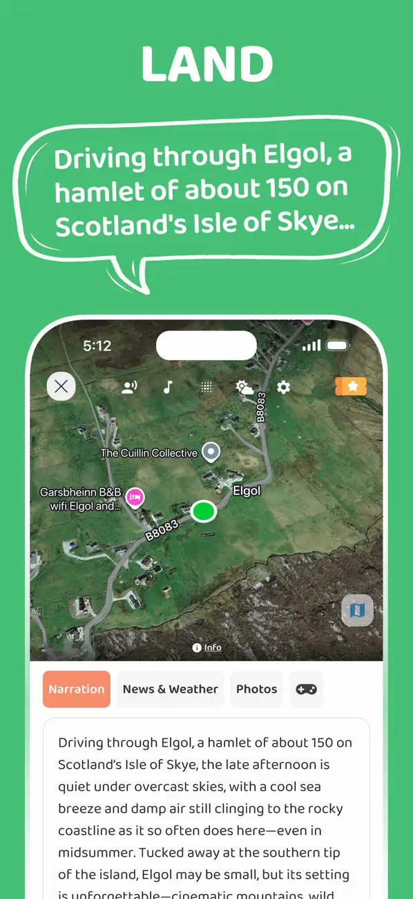
JollyTango supports walks as part of its real-time audio travel guide. It can tell stories about nearby places, photos, weather, culture, and points of interest as you move.
Use it when you want to keep walking naturally without committing to one fixed route and your phone has internet. Keep addresses, transit details, local rules, and safety information available separately.
Walking map and travel-audio sources
Make city walks more curious.
Use JollyTango to hear audio stories about places, culture, photos, weather, and points of interest around your path.
Explore JollyTango