
A Day on the Natchez Trace: Three Stops Near Natchez
The Natchez Trace Parkway runs for 444 miles, but a day trip from Natchez can stay within its first 41.5. Three stops are enough to see why this road is more than a pleasant drive through the trees: Emerald Mound, Mount Locust, and the Sunken Trace.
Start at the southern end near Natchez and work north. The mileposts make the sequence easy to follow, but the history is not one continuous tale of travelers on horseback. Indigenous communities, boatmen, families, and enslaved people experienced this corridor in very different ways.
1. Emerald Mound: begin before the road
At milepost 10.3, leave the Parkway for Emerald Mound. This large ceremonial earthwork belongs to the Indigenous history of the region, long before the modern road and the familiar accounts of boatmen walking home from the Mississippi River.
Read the interpretation near the parking area before deciding how far to walk. The National Park Service describes a route with narrow gates, paved and mowed-grass sections, and some steep ground. A short distance on a map does not necessarily mean an easy walk for everyone.
Treat the mound as a historic place, not a hill to climb for a photograph. Follow the designated visitor route and posted rules. Starting here changes how you read the rest of the day: the Trace passed through an already inhabited landscape.
2. Mount Locust: more than a roadside inn
Continue to Mount Locust at milepost 15.5. Its history includes a home, an inn, and a plantation. The inn served travelers on the old Trace, including boatmen who had taken goods downriver and were returning north overland.
The house is only part of the visit. The site’s interpretation also identifies an enslaved people’s cemetery and the locations of former living and working spaces. Take time with those signs. A story told only through the inn would leave out people whose labor supported the place.
Check current opening information if you want to see inside the historic house or speak with a ranger. The grounds include different walking surfaces and slopes, so consult the NPS access information rather than assuming the whole stop is level.
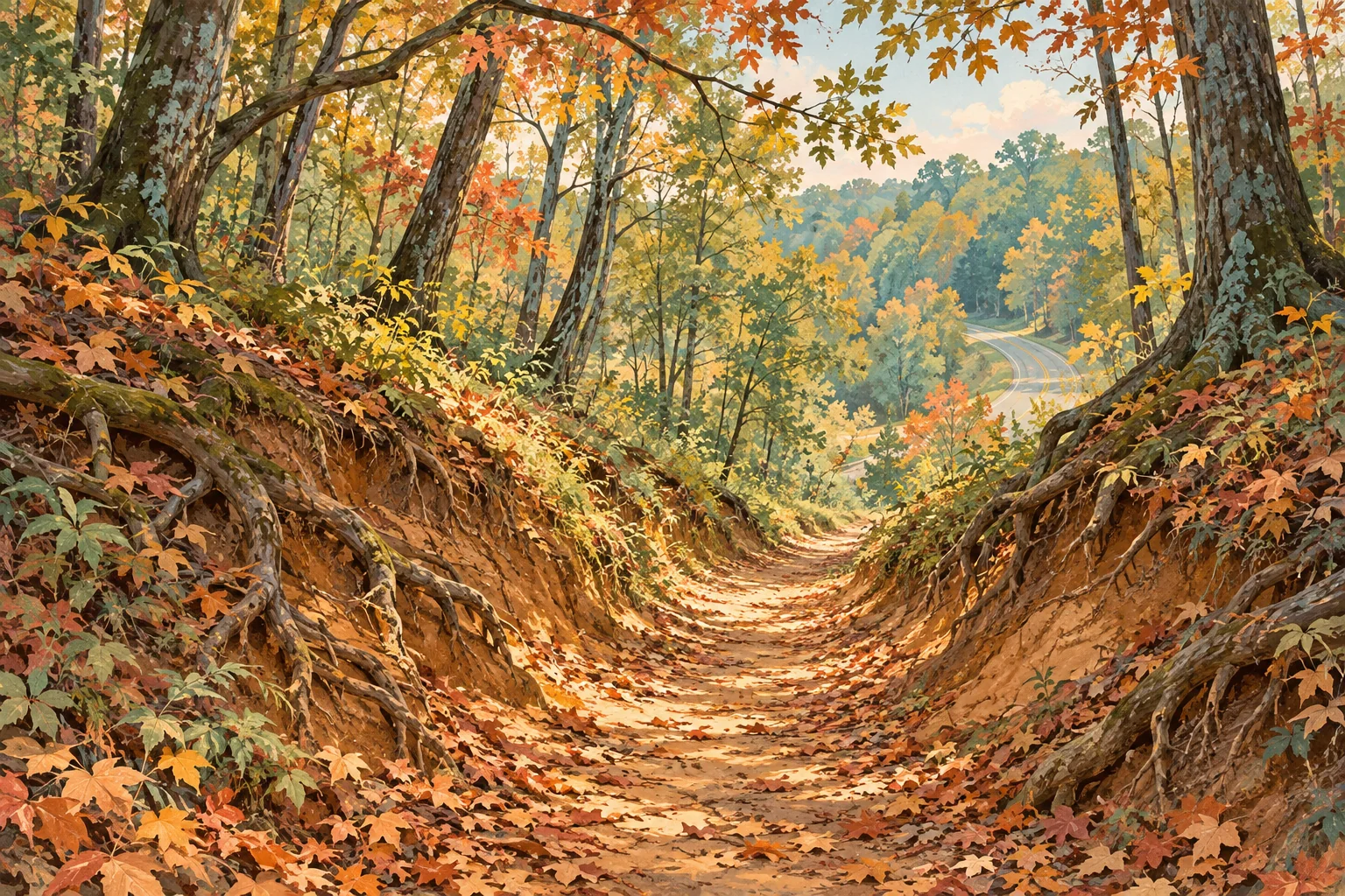
3. Sunken Trace: step away from the pavement
The third stop is farther north, at milepost 41.5. Here a preserved stretch of the old route lies below the surrounding ground. The worn path makes the difference between the historic Trace and today’s Parkway immediately visible.
You are not setting out on a long-distance hike. Take the short visit slowly, look at the earth banks and roots, and picture a journey measured in days on foot rather than miles by car. The modern road roughly follows the old corridor; they are not the same surface.
Choose footwear for natural ground, and reconsider walking the path if conditions make it slippery or awkward for your group. Seeing the site does not require turning a brief stop into a longer walk.
Leave room for the drive back
From milepost 0 to 41.5 and back is about 83 miles on the Parkway, before the approach from your accommodation and the side road to Emerald Mound. That return distance is easy to overlook when the stops are listed in a neat northbound sequence.
Allow a substantial part of the day for the drive, reading the interpretation, and walking. If you start late, choose fewer stops rather than adding speed. Pack water and something to eat, and arrange fuel and your main meal in town before or after the excursion.
Review NPS conditions and the local forecast before departure. The Parkway has narrow lanes and little or no shoulder in many places. Use designated stops, follow posted speed limits, and watch for cyclists and wildlife. The road’s calm appearance is not a reason to divide your attention.
A road trip with time to listen
If you enjoy hearing about places between stops, JollyTango’s road-trip audio stories offer another way to learn about your surroundings. The app needs internet access, so do not make the day depend on continuous playback through the wooded stretches.
Keep the NPS map and visiting information available separately for directions and closure notices. Set up audio before driving, then give the road your attention. At the stops, the site’s own interpretation deserves your time.
Maps, access information, and trip updates
Put the miles in context.
Hear audio stories about nearby places with JollyTango when your phone has internet.
Explore JollyTango