What am I driving past right now?
A road trip is full of places that pass by too quickly to research in the moment. A town name appears on a sign, a river crosses under the highway, a ridge line comes into view, or a local food region shows up on a billboard. The question is simple: what am I driving past right now?
The answer is usually more interesting than the sign makes it look. America even has a federal scenic byways program because roads can matter for cultural, historic, natural, recreational, scenic, and archaeological reasons. The trick is getting that context without asking the driver to search while driving.
Let the road names lead the question
The best way to understand what you are driving past is to combine your route with local context. A map can show names and roads. Search can explain one place at a time. A road trip audio guide can turn the moving route into short stories about towns, landscapes, landmarks, history, food, nature, and culture.
This works because the road itself is often part of the destination. The U.S. Department of Transportation says the National Scenic Byways Program includes 184 designated roads in 48 states, which is a useful reminder that roadside context is not trivia. It is part of how many places are meant to be experienced.
What to notice from the car window
Town names and county lines
Small towns often carry the story of migration, railroads, farming, mining, river crossings, local industry, or regional culture. A county line can also explain a change in road names, crops, architecture, accents, or food signs.
Rivers, bridges, and terrain
Water and terrain shape routes. Highways follow valleys, cross old trade corridors, bend around mountains, and pass through places where people settled because the geography made sense.
Scenic and historic clues
Byways, historic markers, park signs, ferry terminals, railroad crossings, and old downtowns are clues that the place has a story worth hearing. The useful question is not only what is the name of this place, but why did this route grow here?
Food and local culture
A drive can explain why one region is known for barbecue, citrus, lobster rolls, dairy farms, vineyards, diner culture, or roadside produce stands. This is the context that makes stops feel less random.
Tools that can help
- Use the route map to understand the major towns and roads ahead.
- Save interesting names you want to revisit later.
- Use audio when you want context without staring at a screen.
- Let passengers explore details while the driver stays focused.
- Pull over before searching, typing, or changing settings.
The safety point is not optional. NHTSA reports that distracted driving killed 3,208 people in 2024. The best road trip tools reduce driver screen use and make the passenger experience richer at the same time.
Turn roadside context into audio
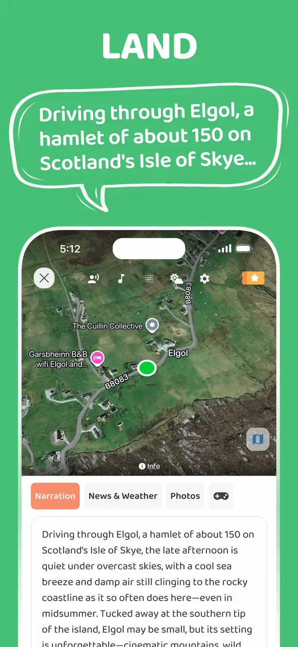
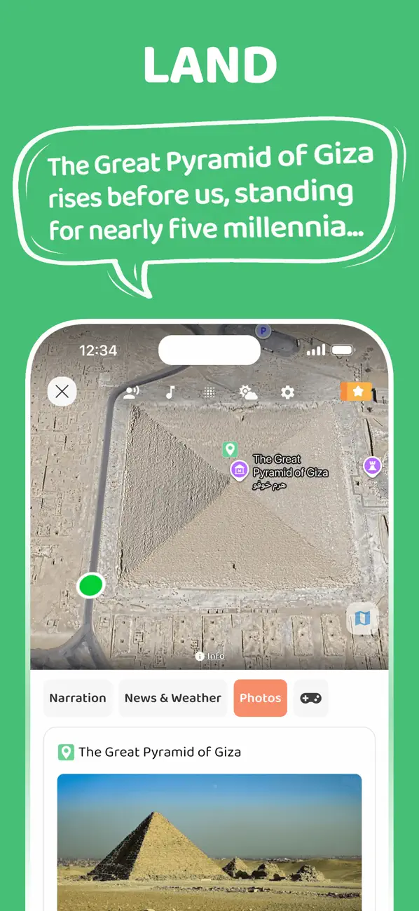
JollyTango Land Mode is built around this exact road trip question. It narrates places and points of interest along your route, including towns, landmarks, culture, nature, weather, and regional history.
"The narrations during drives are interesting and make time pass quickly."
LocalGuide19, App Store reviewer
It is especially useful on scenic drives, long highway days, family trips, train rides, and familiar routes where a passenger wants the world outside the window to make more sense. JollyTango needs internet access, so keep maps and essential road information saved separately.
Roadway, byway, and driving-safety sources
Turn your next drive into a narrated journey.
Use JollyTango when internet is available to hear stories about towns, landmarks, culture, food, nature, and points of interest along your route.
Explore Road Trip Mode