
Upper Keys
Key Largo and Islamorada introduce the island chain through diving, fishing, mangroves, marine places, and communities still close to the mainland.
US 1 turns a simple line on the map into a long sequence of islands, communities, bridges, speed changes, and open-water views. Mile markers count down toward Key West, but the memorable part is how the Upper, Middle, and Lower Keys change around the road. JollyTango can share stories along the drive when your phone has internet. FL511 and official weather and emergency sources remain in charge of road and storm decisions.


Key West sits near Mile Marker 0, and numbers increase toward the mainland. Save the mile markers for stops so the group understands both distance and location.
Key Largo and Islamorada introduce the island chain through diving, fishing, mangroves, marine places, and communities still close to the mainland.
Marathon and the Seven Mile Bridge corridor create a natural midpoint for fuel, food, a longer break, and a fresh traffic check.
Longer stretches of water and lower-density islands make the road feel more exposed before Key West begins to pull traffic together again.
Decide parking and lodging access before the final miles. The driving day should not end with an improvised search through busy streets.
From short channels to the Seven Mile Bridge corridor, the Overseas Highway repeatedly leaves land and makes water the main view. The older rail-and-road history, modern bridge engineering, fishing communities, and marine environment give the drive more context than a destination countdown.
Hear real-time stories about Keys communities, bridges, food, maritime history, mangroves, reefs, and nearby places when JollyTango has internet access.
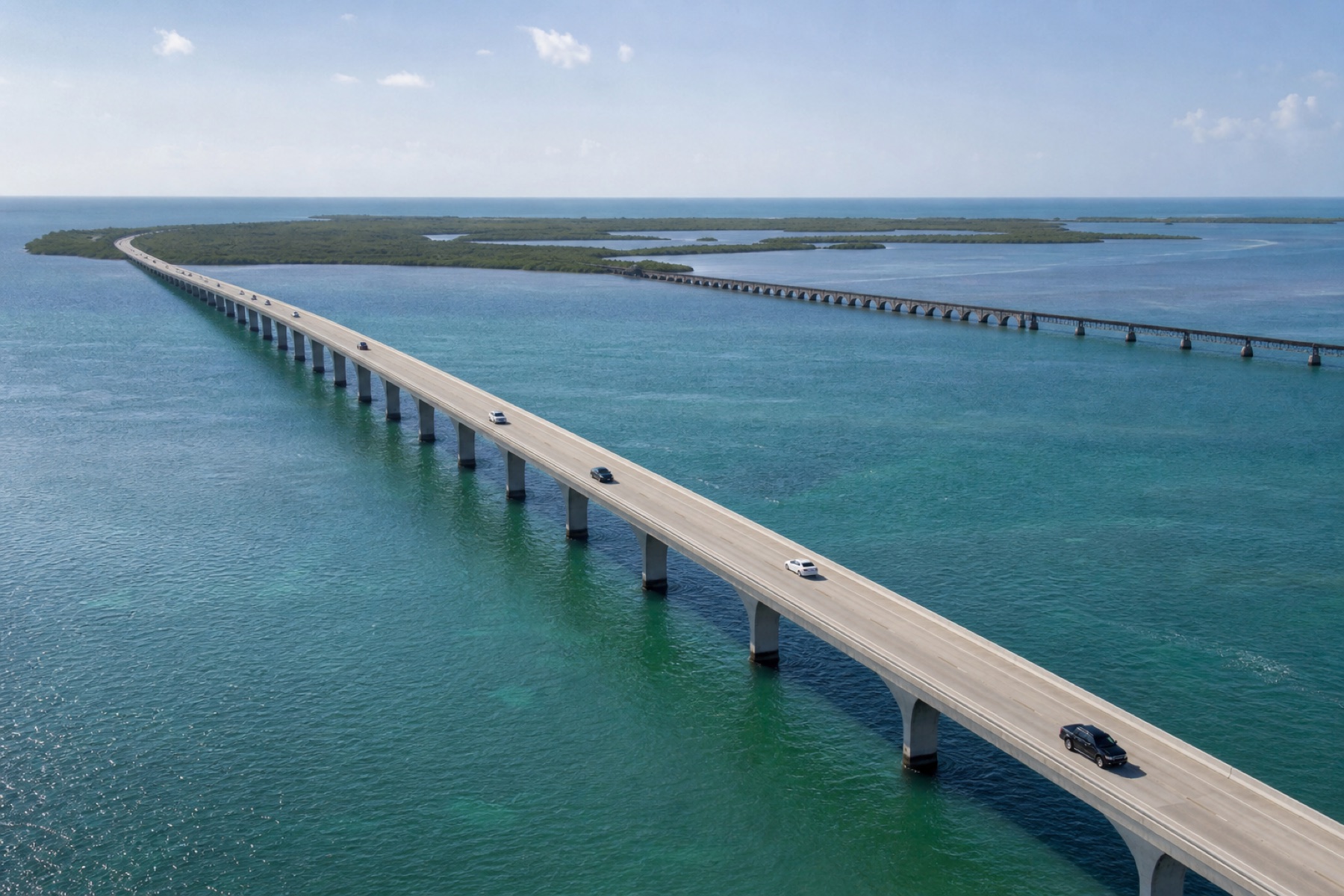
The Keys are connected by US 1, so a disruption can affect far more than the next intersection.
Check FL511, avoid building a schedule around the fastest map estimate, and leave room for bridge delays, community traffic, road work, and busy weekends.
Hurricane season runs from June through November. Follow official forecasts and Monroe County instructions; a visitor evacuation order ends the sightseeing plan.
Choose lawful stops before a need becomes urgent. Never use bridge shoulders or the roadway as an improvised viewpoint.
Water views and changing islands invite attention, but the travel lane still requires full focus.
Let a passenger control playback, look up a place, and handle route questions while the vehicle moves.
Pick a few safe waterfront, meal, and rest locations rather than reacting to every view from the road.
Keep traffic, weather, lodging, and emergency sources available even when JollyTango cannot connect.
Know where the car belongs in Key West before the final approach, especially during events and busy weekends.
Choose the route whose access pattern matches your travel day.

Plan a coastal loop around parking, passes, and a separate summit reservation.
Read the guide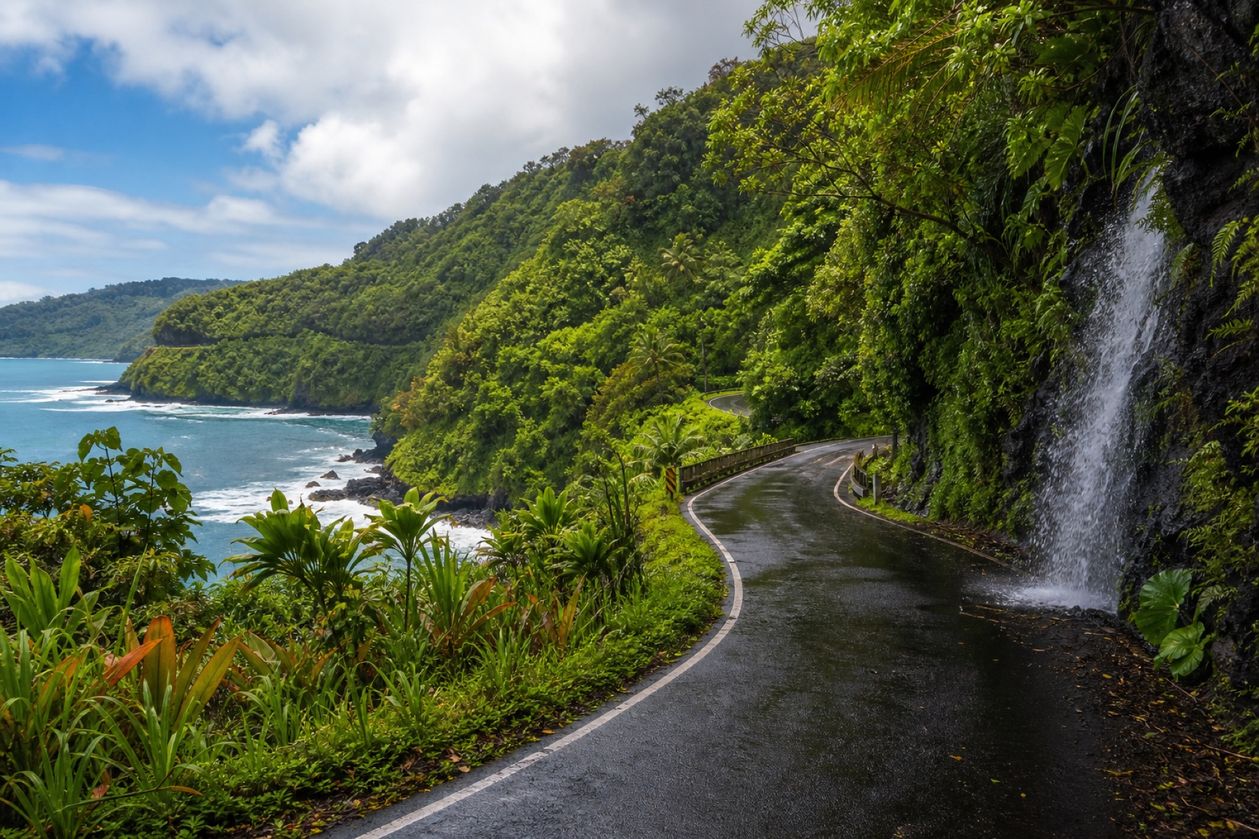
Prepare for a slow rainforest and coastal drive.
Read the guide
Hear stories around the flexible route you are taking now.
Explore Road TripsYes. When internet access is available, JollyTango can play real-time stories about Florida Keys communities, bridges, marine landscapes, food, history, and places around US 1. Use FL511, official weather sources, Monroe County Emergency Management, signs, and navigation tools for traffic, storms, closures, and route decisions.
Mile markers provide a practical structure: the Upper Keys, Middle Keys around Marathon and the Seven Mile Bridge, Lower Keys, and Key West each make a useful travel chapter. Choose a few planned stops rather than trying to stop at every island.
No. JollyTango provides real-time travel stories when internet is available. Use FL511 for road information and follow the National Weather Service, National Hurricane Center, and Monroe County Emergency Management for tropical weather and evacuation instructions.
No. JollyTango requires internet access. Save navigation, lodging, official traffic information, weather contacts, and essential emergency details before departure.
Download JollyTango before joining the Overseas Highway.