
How to plan a Blue Ridge Parkway fall road trip.
A fall drive on the Blue Ridge Parkway is easier to enjoy when you stop treating all 469 miles as one itinerary. Color changes with latitude, elevation, weather, and week, while construction or storm recovery can break a long route into separate open sections.
Build the trip around one or two Parkway regions, then leave time for overlooks, short walks, gateway towns, and detours. The road is the experience, not simply the way to reach the next stop.
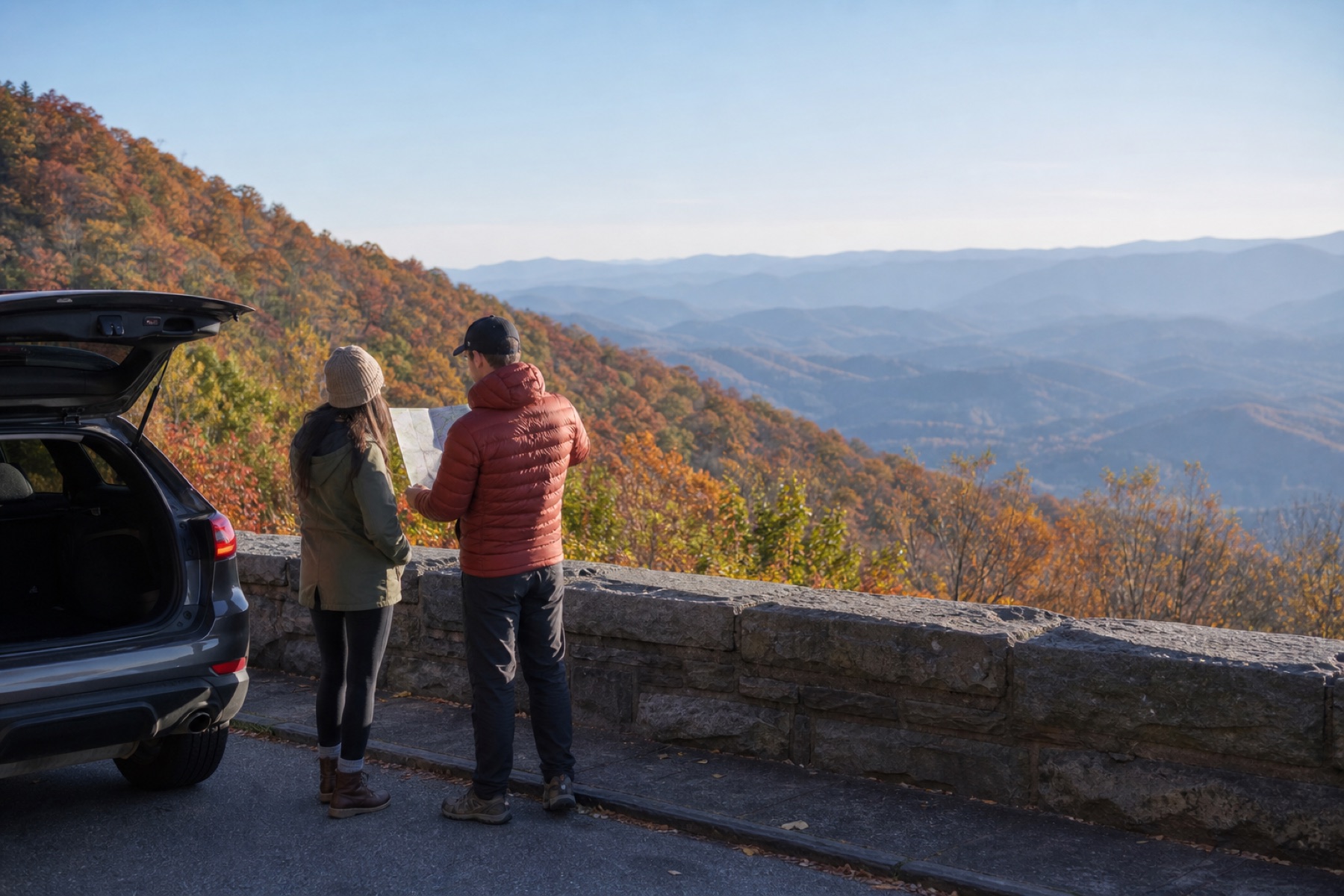
Choose a section before choosing every stop
The Parkway runs from Milepost 0 near Shenandoah National Park to Milepost 469 near Great Smoky Mountains National Park. Roanoke, Boone, and Asheville make practical anchors, but each region needs a different amount of driving and exit planning.
- Use mileposts to group overlooks and walks that are genuinely close together.
- Plan an entrance and an exit instead of assuming the next Parkway segment is open.
- Pick a gateway town for fuel, meals, and lodging because there are no gas stations directly on the Parkway.
- Keep at least one lower-elevation or town-based alternative for fog, rain, or a closed section.
Treat fall color as a moving band
Peak color does not arrive everywhere at once. Higher elevations may change before nearby valleys, and one windy storm can change the view quickly. Use a current regional color report as a clue, not a reservation guarantee.
Give overlooks daylight
A route that looks short on a map can fill a day once slower speeds, curves, traffic, photography, and walks are included. Choose fewer stops and stay long enough to notice the view.
Expect October traffic
National Park Service guidance identifies October as one of the Parkway's busiest periods. Weekdays and early starts can create a calmer trip, but road status still needs a same-day check.
Make the closure page part of the itinerary
Construction, weather, ice, storm damage, and emergency work can close individual Parkway segments. Read the official road-status table by milepost, identify signed detours, and confirm that a favorite overlook is reachable from the direction you plan to approach.
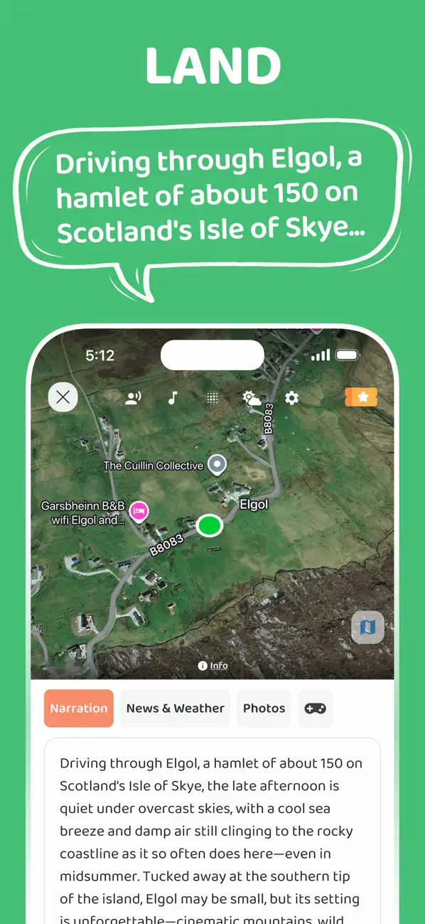
Save the official map and the details for nearby access highways before leaving town. JollyTango requires internet, so narration may pause where service is unavailable; route information and safety essentials should already be available through official or saved tools.
Listen for the places between the overlooks
When your phone has internet, the JollyTango Blue Ridge Parkway audio guide can share real-time stories about Appalachian landscapes, music, towns, forests, rivers, and landmarks around the section you are actually driving.
Let a passenger manage playback and route checks. The driver should keep attention on the road, especially through curves, tunnels, wildlife areas, fog, and crowded overlooks.
Blue Ridge Parkway road and trip-planning sources
Make the Parkway drive part of the story.
Use JollyTango for real-time stories along open Parkway sections when internet access is available.
Read the Blue Ridge guide