Read the closure table by milepost
Check every section between the planned entrance and exit. A destination may be reachable from one direction but not the other.
The Parkway is 469 miles of ridges, tunnels, overlooks, forests, music, and neighboring communities—not one attraction with one parking lot. Choose an open section, learn its mileposts, and leave room for the road to move slowly. When your phone has internet, JollyTango can share stories about places around the drive. National Park Service maps and road-status pages remain the source for access, detours, facilities, and safety.


Use the major gateway regions to create a drive with a clear entrance, exit, and backup route.
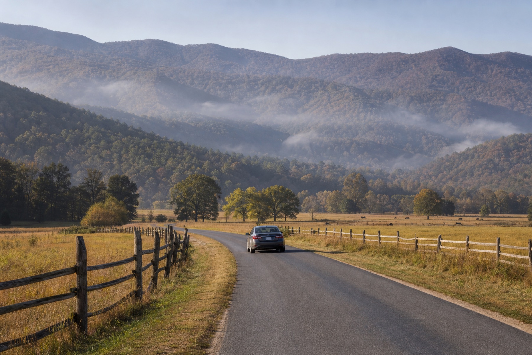
Milepost 0 begins near Shenandoah National Park. Humpback Rocks, the James River area, Peaks of Otter, and Roanoke can anchor separate driving days rather than one long push south.
Boone, Blowing Rock, Linville, the Asheville area, and nearby access highways make it possible to build shorter loops—but current construction and storm-recovery closures can interrupt the motor road.
The Parkway ends near Great Smoky Mountains National Park and Cherokee. Mountain weather, seasonal facilities, and the final open segment should be checked before using it as an arrival route.
The official Parkway map is organized by milepost, and concrete markers help travelers understand progress along the route. Save the mileposts for planned overlooks, walks, visitor centers, exits, meals, and lodging.
JollyTango can add stories about Appalachian geology, forests, rivers, craft traditions, music, towns, and landmarks while the phone has internet. It cannot tell you whether the next segment is open or which detour is required today.
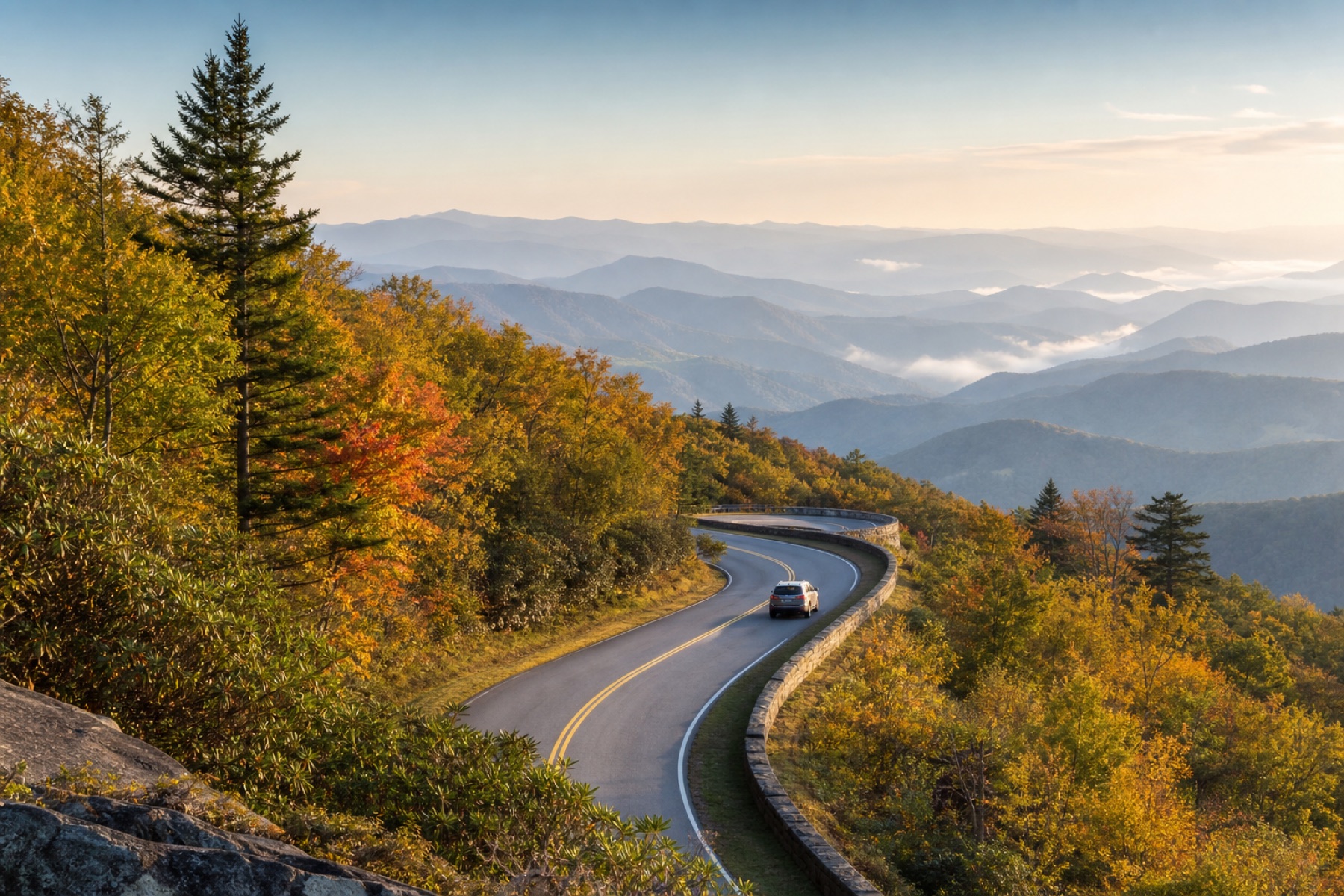
The Parkway speed limit is generally 45 mph or lower, and curves, elevation, busy overlooks, bicycles, fog, and wildlife can make a short distance take longer.
Check every section between the planned entrance and exit. A destination may be reachable from one direction but not the other.
There are no gas stations directly on the Parkway. Choose a fuel stop near an access point before the gauge makes the decision.
Standard address-based navigation may not interpret Parkway mileposts well. Keep the official map and connecting-road details available.
The driver should stay focused on curves and changing conditions. Use designated overlooks for photos, searches, and route changes.
Build the practical route first, then choose the stories and stops that fit it.
Yes. When your phone has internet, JollyTango can play real-time stories about Appalachian landscapes, communities, music, rivers, forests, and landmarks around the open Parkway section you are driving. Use National Park Service sources for road status, detours, facilities, and safety.
No. JollyTango requires internet access. Save the official map, planned access roads, road-status details, fuel stops, and any essential safety information before entering areas where service may be unavailable.
The National Park Service describes the Parkway as a 469-mile road connecting Shenandoah National Park near Milepost 0 with Great Smoky Mountains National Park near Milepost 469. Most travelers should choose one or two sections rather than treating the entire road as a single-day drive.
National Park Service auto-touring guidance says there are no gas stations directly on the Parkway. Fuel is available in communities reached from Parkway access points, so plan a fuel stop before committing to a long section.
Download JollyTango before your next road trip.