
How to plan a Great Smoky Mountains scenic drive.
Great Smoky Mountains National Park does not have one scenic loop that represents the whole park. A pastoral Cades Cove day feels different from crossing Newfound Gap, following Little River Road, or taking the narrow Roaring Fork Motor Nature Trail.
Choose the road for the kind of day you want, then check whether weather, seasonal access, parking, or vehicle restrictions change that plan.
Match the road to the day you actually want
Cades Cove for valley scenery and historic stops
The 11-mile one-way loop can take two to four hours or longer when traffic is heavy or wildlife is visible. It is a slow outing, not a shortcut through the park.
Newfound Gap Road for an elevation change
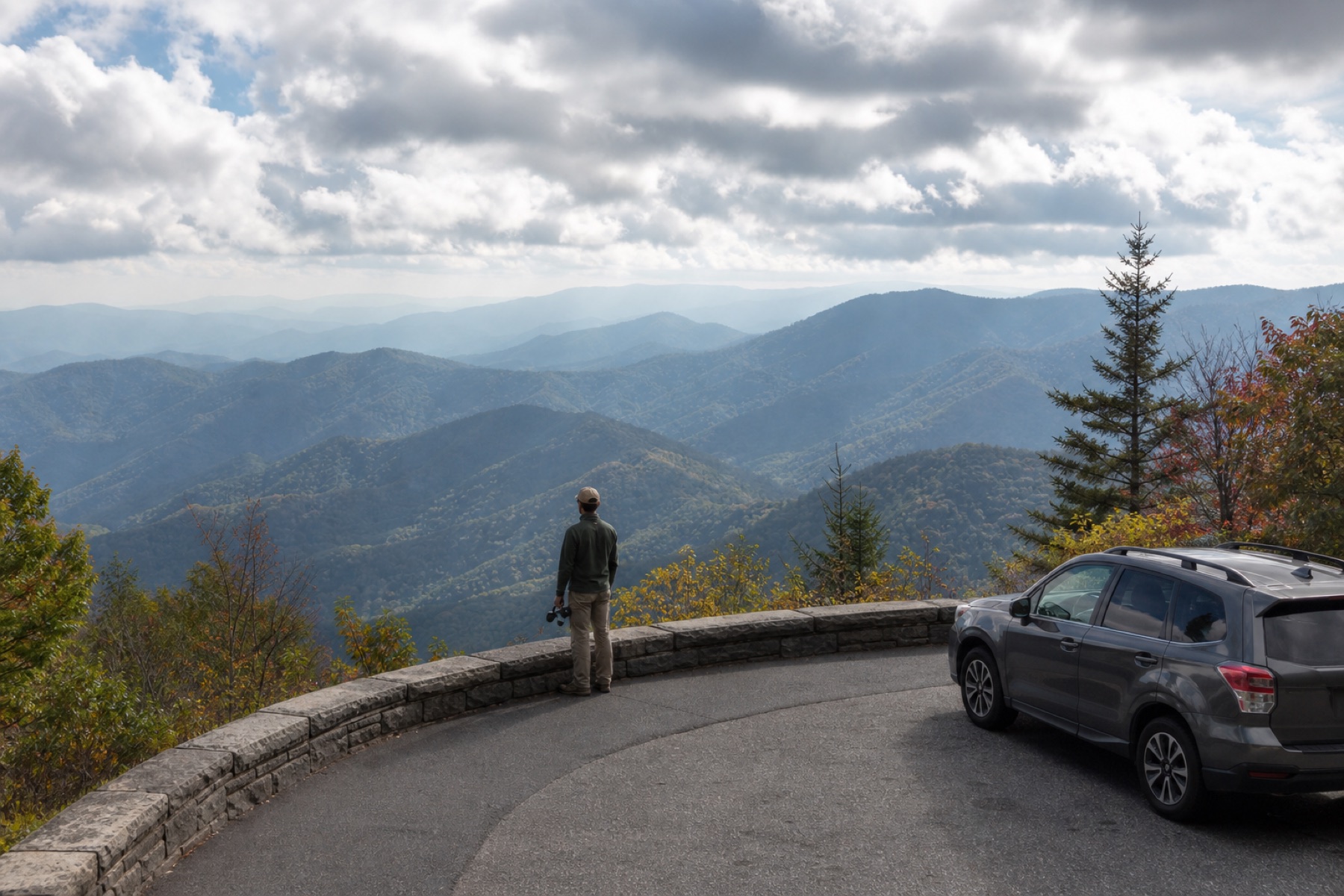
US 441 crosses the park between Gatlinburg and Cherokee. The drive moves from lower forest to high-elevation viewpoints, so weather and visibility can change along the climb.
Roaring Fork for a narrow forest drive
Roaring Fork Motor Nature Trail is one-way, steep, and seasonal. Check current vehicle rules and opening dates before treating it as a casual add-on.
Foothills Parkway for broad ridge views
Parkway sections can provide a scenic alternative when the goal is mountain views rather than a long chain of trailheads and historic buildings.
Build time for traffic, pullouts, and weather
- Check the park's current road and facility status before entering.
- Add time for slow traffic around Cades Cove and popular overlooks.
- Use designated pullouts instead of stopping in a travel lane.
- Carry a second route for heavy rain, low visibility, or a seasonal closure.
- Remember that parking tags are required when parking for longer than 15 minutes.
Mountain weather can change the usefulness of a viewpoint without closing the road. A cloudy high pass may be the right moment to spend more time in a valley, visitor center, or gateway community.
Keep wildlife watching from changing the road rules
Cades Cove is known for wildlife viewing, but the road remains a road. Use paved pullouts, stay in the vehicle when traffic requires it, follow posted instructions, and keep the distances required by the National Park Service.
The driver should never search for an animal, camera control, or app while moving. Let passengers observe and leave photography for a lawful stop.
Hear why each side of the Smokies feels different
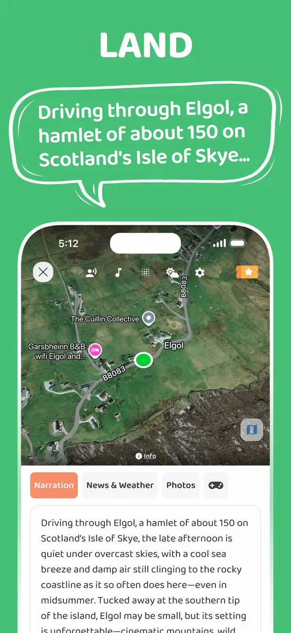
When internet access is available, the JollyTango Great Smoky Mountains audio guide can share real-time stories about Appalachian communities, forests, ridgelines, rivers, historic roads, and places around the drive.
Use NPS alerts, maps, signs, weather guidance, and ranger information for closures, parking, trails, wildlife rules, and emergencies. JollyTango does not provide those operational decisions.
Great Smoky Mountains road, parking, and auto-touring sources
Choose a Smokies drive with room to notice it.
Hear real-time stories around open park roads when your phone has internet.
Read the Smokies guide