Cades Cove
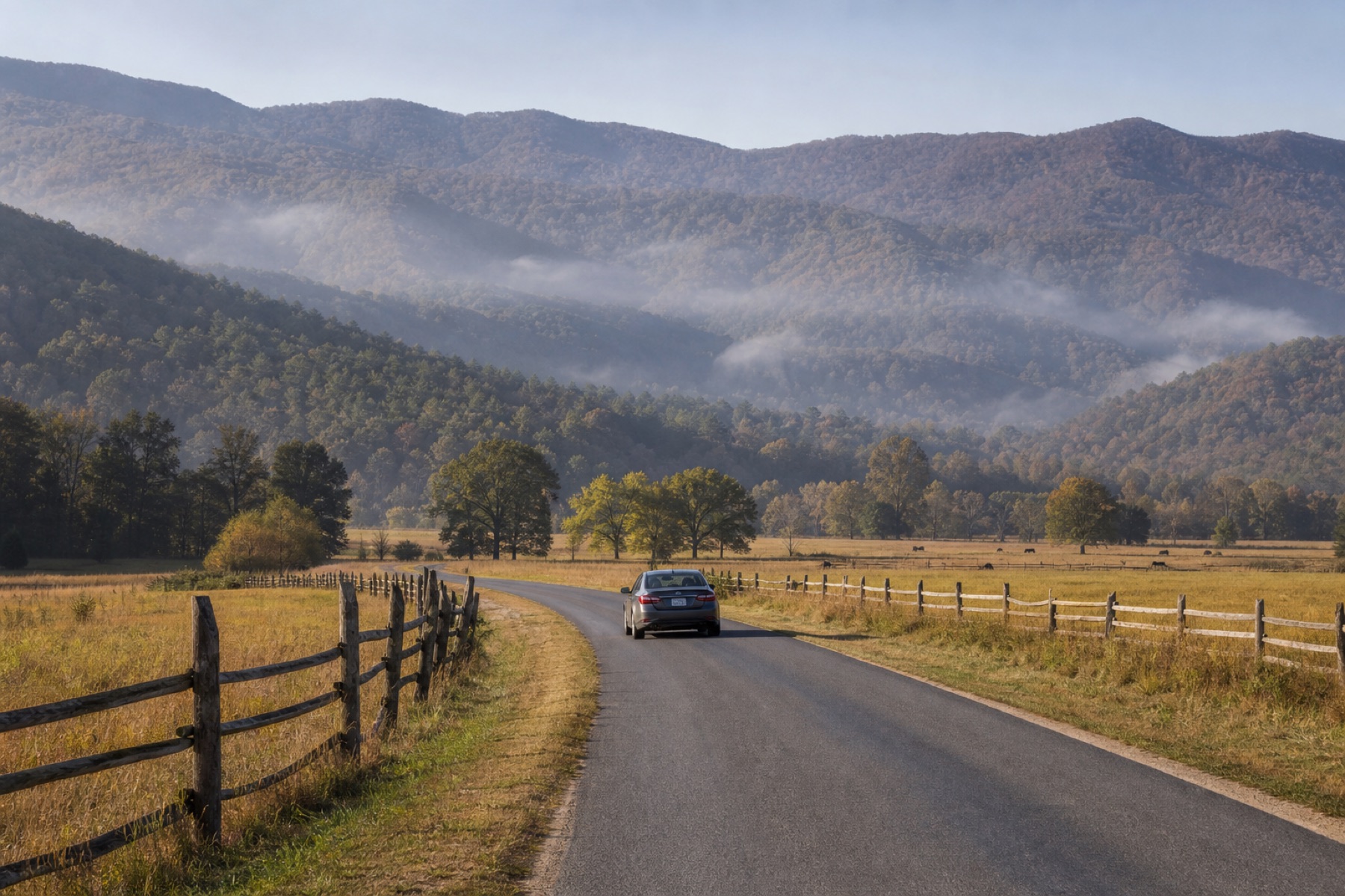
The 11-mile one-way loop can take two to four hours or longer. Heavy traffic and wildlife viewing make it a half-day experience, not a quick circuit.
The Smokies can be a valley loop, a high pass, a narrow forest road, or a broad mountain viewpoint. Choosing among Cades Cove, Newfound Gap Road, Roaring Fork, and Foothills Parkway matters more than collecting every stop. JollyTango can share stories about places around the route when your phone has internet. Park alerts, maps, signs, and ranger information still decide what is open and safe today.


Cades Cove moves through open fields, historic structures, and wildlife habitat at a deliberately slow pace. Newfound Gap Road climbs between Gatlinburg and Cherokee, crossing changing forests and weather. Roaring Fork brings drivers close to rushing water and historic homesteads on a narrow seasonal road.
Those changes create useful moments for stories about Cherokee homelands, Appalachian communities, biodiversity, rivers, forests, historic travel routes, and the mountains' famous blue haze.
Four popular road experiences solve different travel days.
The 11-mile one-way loop can take two to four hours or longer. Heavy traffic and wildlife viewing make it a half-day experience, not a quick circuit.
US 441 crosses the park between Tennessee and North Carolina, with high-elevation weather and views that can change along the climb.
This steep, narrow, one-way motor trail is seasonal and has vehicle restrictions. It suits a focused forest-and-history outing.
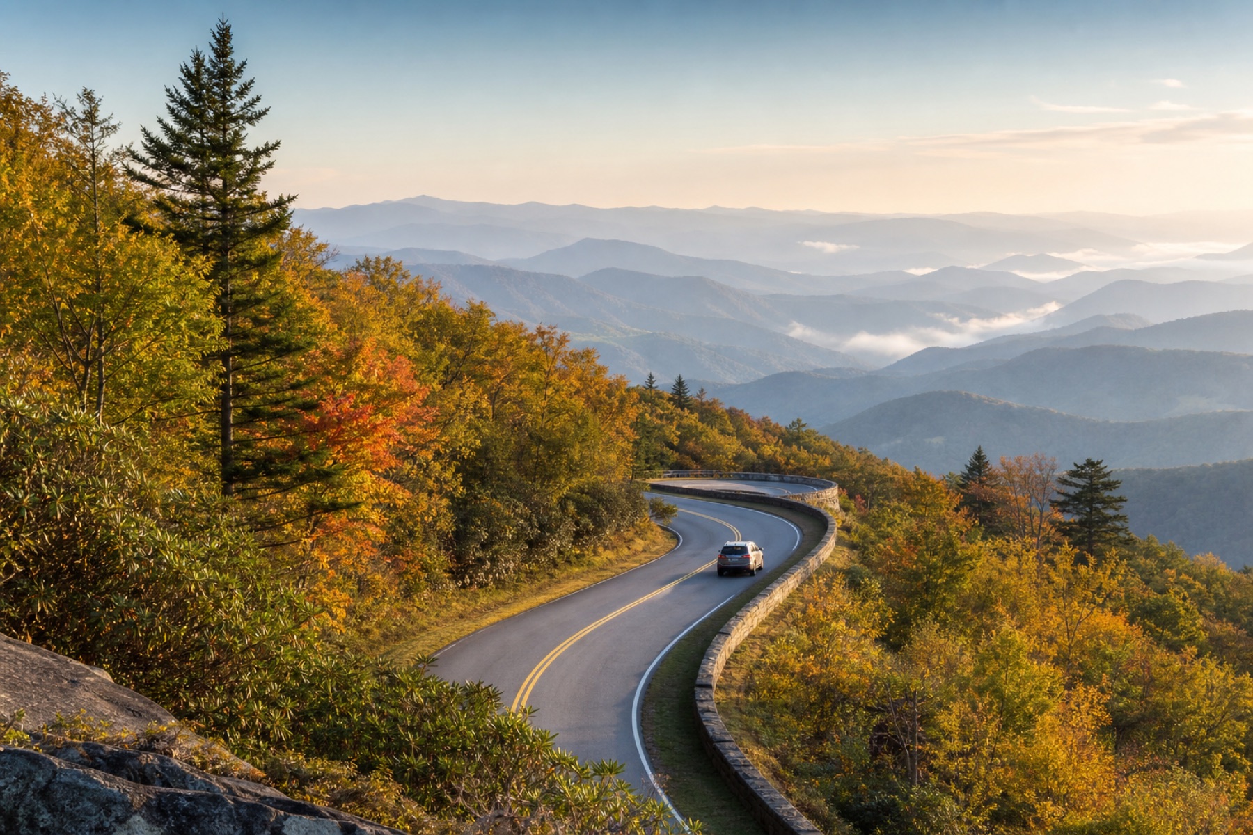
Open sections provide long mountain views and a less stop-heavy drive when the goal is to watch the ridges change.
The loop can slow dramatically during busy periods and wildlife sightings. Use paved pullouts, keep the travel lane moving when possible, and never approach wildlife for a closer photo.
"Allow at least two to four hours to tour Cades Cove, longer if you hike some of the area's trails."
National Park Service trip-planning guidance
A Wednesday plan also needs a calendar check: the loop is typically closed to motor vehicles on Wednesdays from May through September. That vehicle-free period is an official operating decision, not something an audio app can interpret for you.
Road status and mountain conditions can change a good route before the audio begins.
Read current NPS road information, especially after storms and for seasonal roads such as Roaring Fork and Kuwohi Road.
A parking tag is required when parking longer than 15 minutes. An entrance fee is not charged, but parking rules still apply.
JollyTango needs internet. Keep official maps, alerts, weather, and emergency details available before service becomes unreliable.
Let passengers manage audio and searches. Use lawful pullouts for photography and route changes.
Choose a guide that matches the road and access pattern in front of you.
Yes. When internet access is available, JollyTango can play real-time stories about Appalachian communities, forests, rivers, ridges, historic roads, and places around a Smokies drive. Use National Park Service sources for current roads, parking, wildlife rules, trails, weather, and emergencies.
The best choice depends on the day. Cades Cove is a slow one-way valley loop, Newfound Gap Road crosses the park at higher elevation, Roaring Fork is a narrow seasonal motor trail, and Foothills Parkway offers broad ridge views. Check current NPS road information before choosing.
Cades Cove Loop Road is generally open sunrise to sunset but is typically closed to motor vehicles on Wednesdays from May through September. Confirm the current schedule with the National Park Service before driving there.
No. JollyTango provides real-time travel stories when internet is available. NPS alerts, maps, signs, ranger information, and official weather sources handle roads, parking, closures, wildlife guidance, trails, and emergencies.
Download JollyTango before choosing the first park road.