Check Valley traffic first
NPS traffic guidance warns that Yosemite Valley can bring long delays and extremely limited parking during busy periods. Arrive early or plan a day that does not depend on moving the car repeatedly.
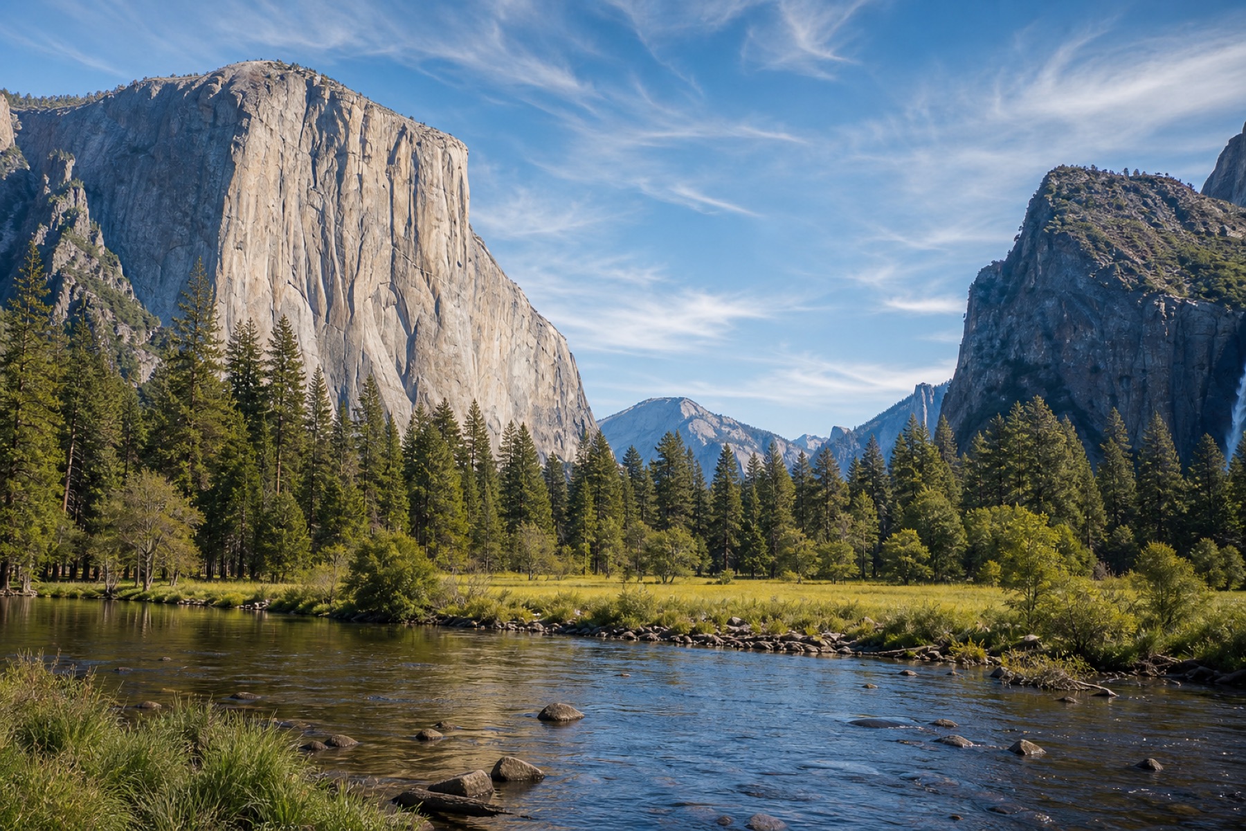
Yosemite is not one simple stop. A good day can hinge on whether you are heading into Yosemite Valley, waiting for waterfall season, driving to Glacier Point, crossing Tioga Road, or choosing Mariposa Grove instead of another crowded Valley loop. When your phone has internet, JollyTango can play stories about the places around your trip. National Park Service pages still decide roads, parking, shuttles, trails, closures, weather, and emergency guidance.
Yosemite audio works best when it follows a real plan. A Valley day, a high-country drive, and a waterfall-focused visit all need different expectations.
The famous views are close together, but the Valley can slow down fast. The most useful plan is often to park once, use the shuttle or walk, and let the stories fill in what you are seeing.
Spring and early summer are different from late summer. Yosemite Falls, Bridalveil Fall, Vernal Fall, Nevada Fall, and seasonal falls do not all behave the same month to month.
Tioga Road, Glacier Point Road, and Mariposa Grove can change the whole day. Check current road status before treating them as part of the route.
Yosemite covers nearly 1,200 square miles of mountainous scenery, with cliffs, deep valleys, waterfalls, sequoias, and wilderness. A traveler can spend the day in the Valley and still miss whole parts of the park.
Use JollyTango for stories about granite walls, gateway towns, the Merced River, waterfalls, forests, historic roads, viewpoints, and the landscape around the drive. Use official sources for what is open, where to park, whether a shuttle is running, and what conditions require a different plan.
Yosemite rewards early decisions. The biggest mistake is treating parking, seasonal roads, and waterfall flow as details you can solve later.
NPS traffic guidance warns that Yosemite Valley can bring long delays and extremely limited parking during busy periods. Arrive early or plan a day that does not depend on moving the car repeatedly.
Tioga Road and Glacier Point Road are seasonal. They often open sometime around late spring or early summer and close later in the year, but the exact dates depend on conditions.
Peak waterfall flow commonly arrives in May or June. By late summer, some falls can be reduced to a trickle, so a waterfall-focused visit needs current information.
JollyTango needs internet. Save your route, NPS current-conditions page, parking notes, shuttle details, and any permit or reservation information before entering areas where service may be unreliable.
Use these pages to plan real-time audio stories for national parks, scenic drives, and route-based travel days.
Hear stories about towns, landmarks, landscapes, food, nature, and culture along your route.
Explore Land Mode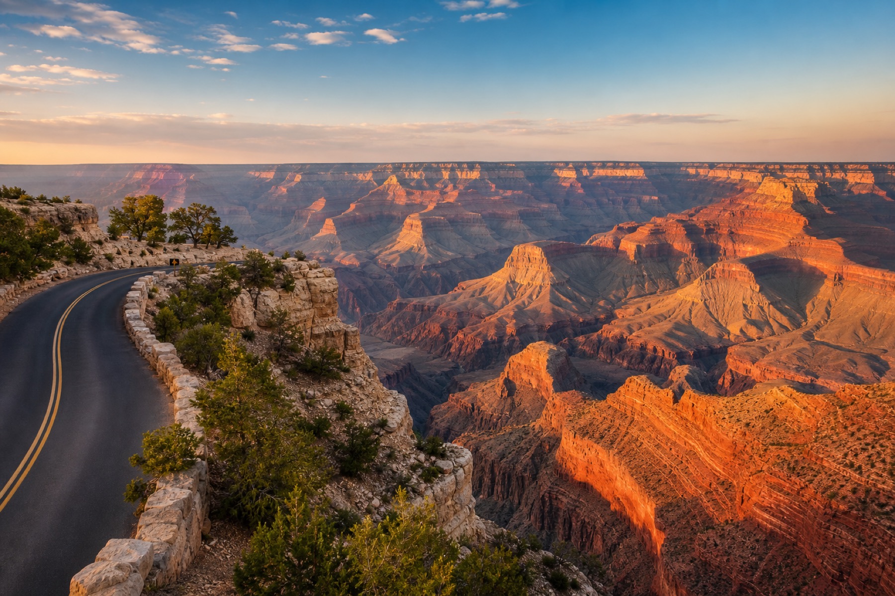
Canyon-drive stories with official road, rim, heat, and park-condition sources.
Read the guide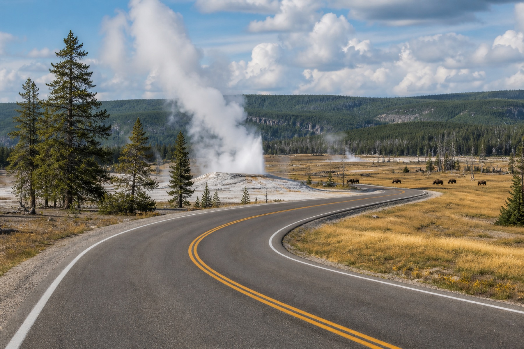
Park-drive stories with official road, geyser, wildlife, and safety sources.
Read the guide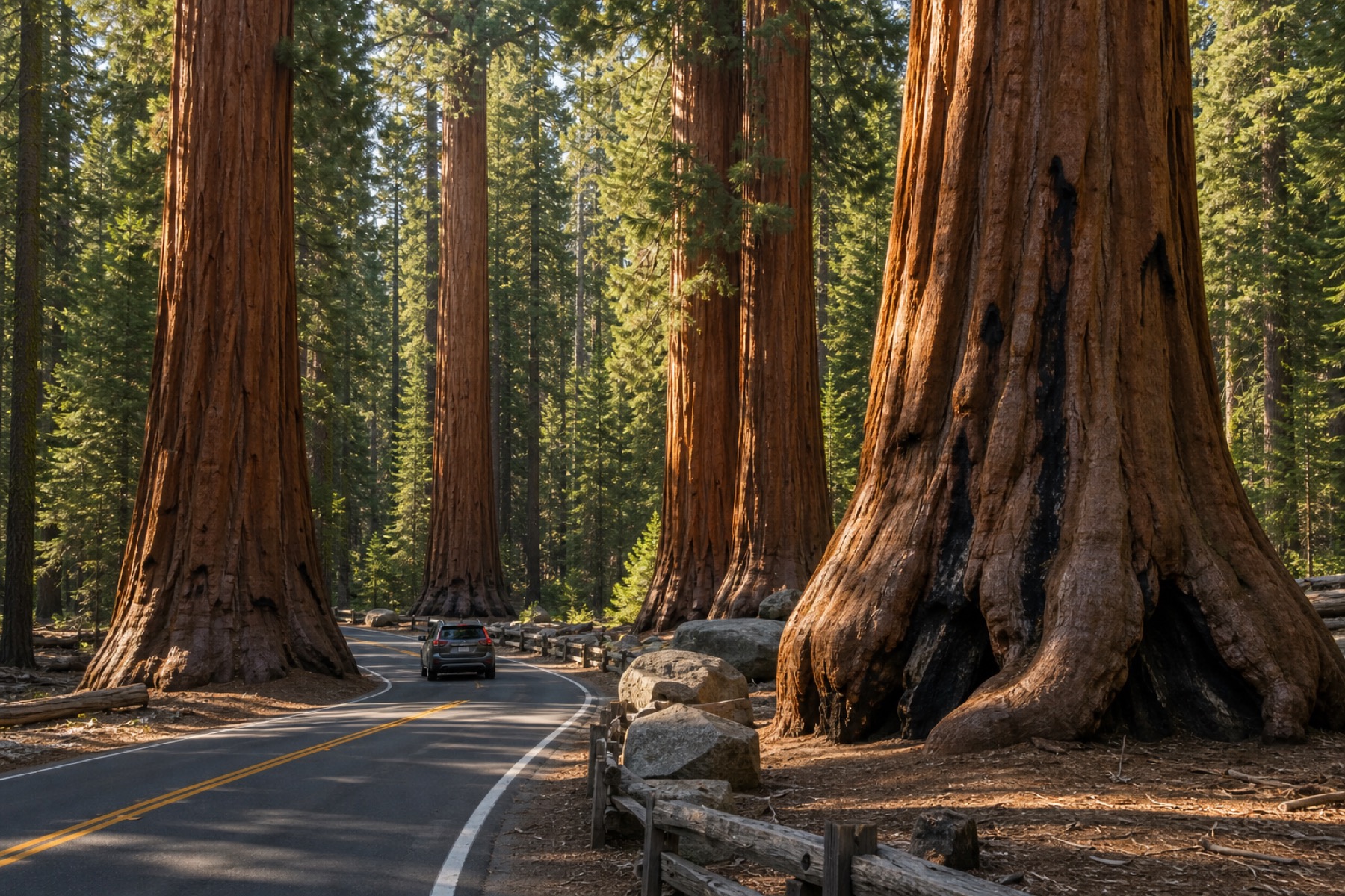
Giant Forest drive stories with official road, shuttle, parking, and weather checks.
Read the guide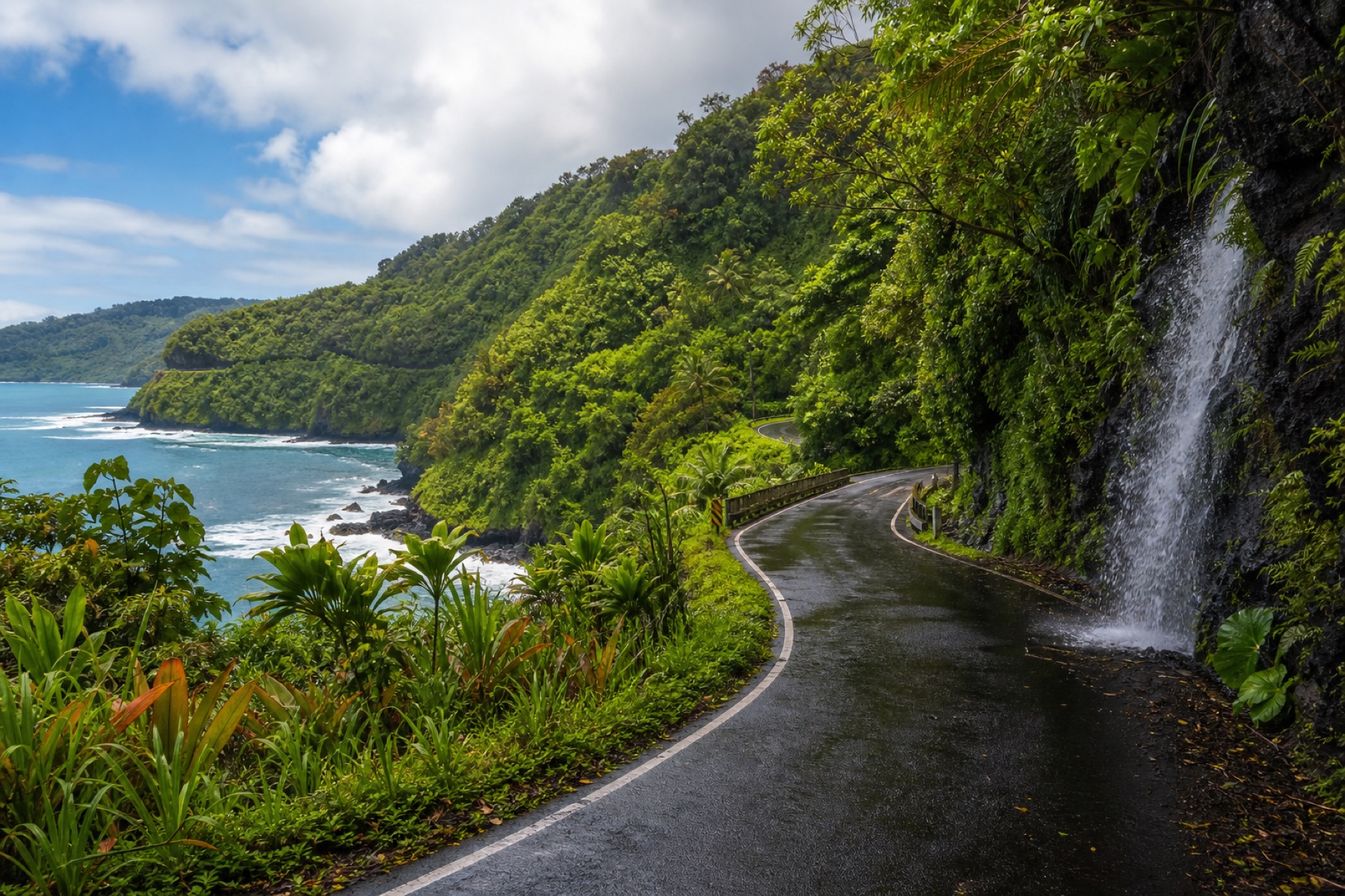
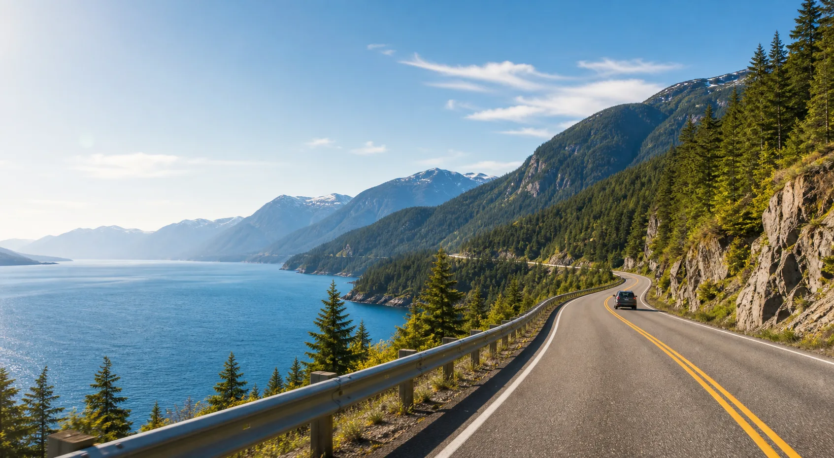
Maui drive stories, with official road and park sources linked.
Plan the drive
Compare real-time audio stories with fixed-route tour apps.
Compare appsYes. When your phone has internet, JollyTango can play real-time stories around Yosemite Valley, waterfalls, viewpoints, gateway towns, granite cliffs, rivers, forests, and scenic drives. Use National Park Service pages for current roads, parking, shuttles, closures, trail conditions, weather, and emergencies.
No. JollyTango requires internet access. Save directions, reservation details, official National Park Service pages, road status, and any must-have safety information before entering areas where service may be unreliable.
The National Park Service says Yosemite waterfalls are generally strongest in spring, with peak runoff often in May or June. Some waterfalls can become very low later in summer, so check current conditions before planning a waterfall-focused visit.
Check National Park Service current conditions, traffic guidance, road status, parking and shuttle information, trail closures, weather, and any permit or reservation rules before relying on a route plan.
Download JollyTango before your next road trip.